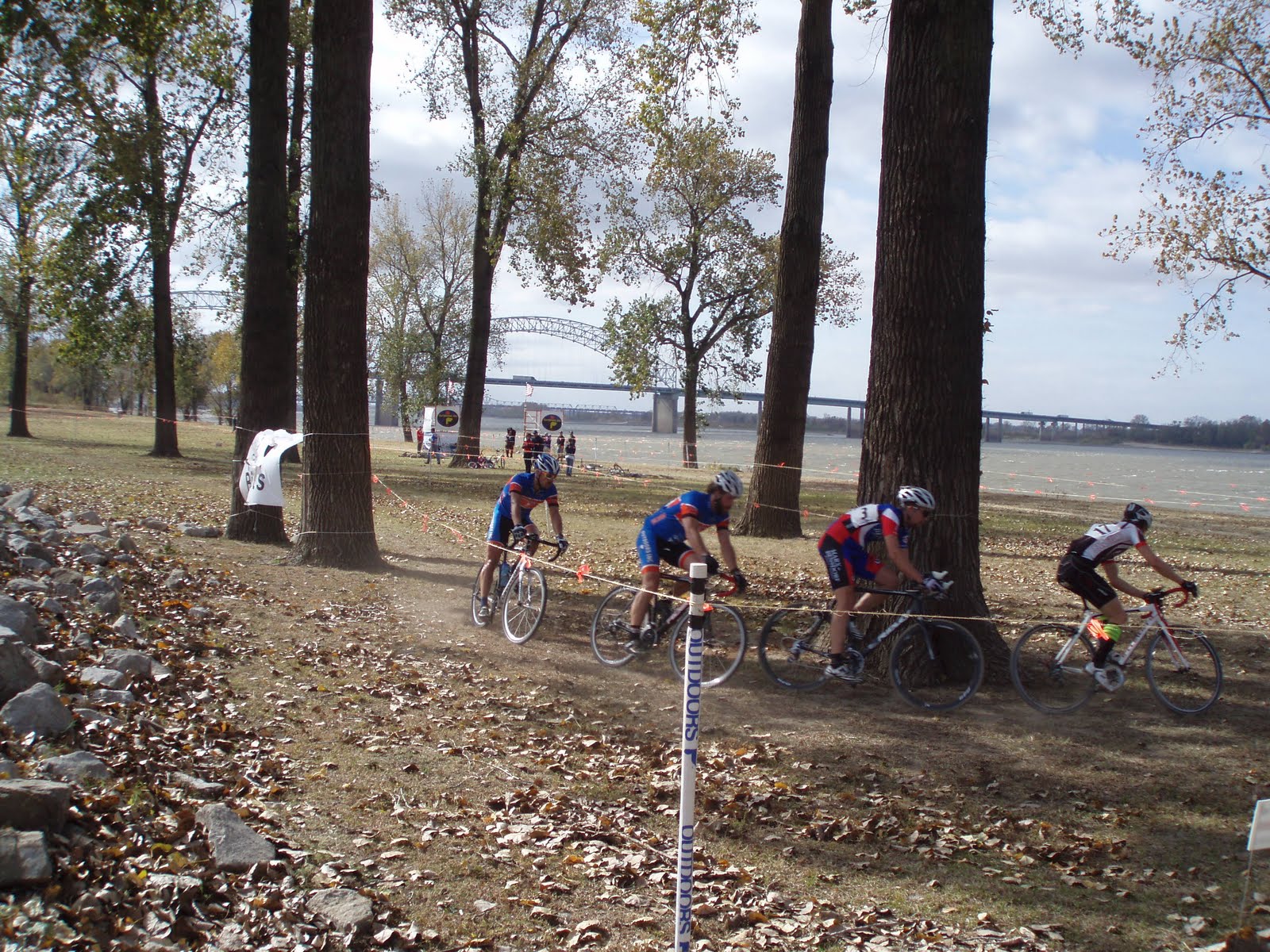
I went on a cycling tear around the natural state for a few weeks recently so maybe a rundown is in order. First off was the Tour Da Delta starting in Helena and for my 3rd year in a row to tour I went all out with the retro theme. 40 year old bike,check, 60's jersey, shoes, crochet gloves,check, and metal water bottle with a cork, check. And in the spirit of the vintage Italian ride, L'Eroica, I rode the 14 miles of the Delta Heritage rail trail (crushed limestone) as part of the century ride. And it worked out great, even smoother than most of the state Highway. I informed the organizers that it should be added as an alternative route.
 Next up was the assent of the fabled Mt. Nebo.
Starting on the Arkansas river in Dardenelle, its
just 6 miles until you begin the climb. The picture of the mountain from a distance doesn't forecast the pain
that will soon be upon me.

 Switchback Hell! I lost count of how many switches in a row there are but I know its a lot.

 Switchback Hell! I lost count of how many switches in a row there are but I know its a lot.
And steep too! I honestly thought I may have to get off and push, mountain bike gearing needed on this climb.


 The Mt. Nebo sign is a dirty trick because you are not at the top, just a short flat and then comes "The Wall" where a switchback would have been welcomed. The 3 mile climb took 22 minutes for an average of 8.5 mph, not exactly TDFrance speed. But at least I made it and so has Martin but do I recommend the BBC do this as a group ride? NO WAY!!


 The Mt. Nebo sign is a dirty trick because you are not at the top, just a short flat and then comes "The Wall" where a switchback would have been welcomed. The 3 mile climb took 22 minutes for an average of 8.5 mph, not exactly TDFrance speed. But at least I made it and so has Martin but do I recommend the BBC do this as a group ride? NO WAY!!


 As they often say, the view was worth the climb.
 When I made it to the Boston Mtns I traded the Schwinn for the Gary Fisher and it was a much needed swap because the trail in Devils Den is quite rocky but a lot of fun if you like technical tricky mountain biking. I had to get off and push
only once and my only compliant is that its only
5 miles of trail which about half of what our own
village creek has.
Last up was the Fayetteville Frisco city bike path and is a nice addition to everyones home away from home. I measured 5.8 miles total length and it really is a useful pathway that connects the downtown, UA, residential areas and the mall. There is even a bike shop that has a back entrance on the pathway. Well that's all the travel stories for now and the next one needs to be from the BBC ASAP.